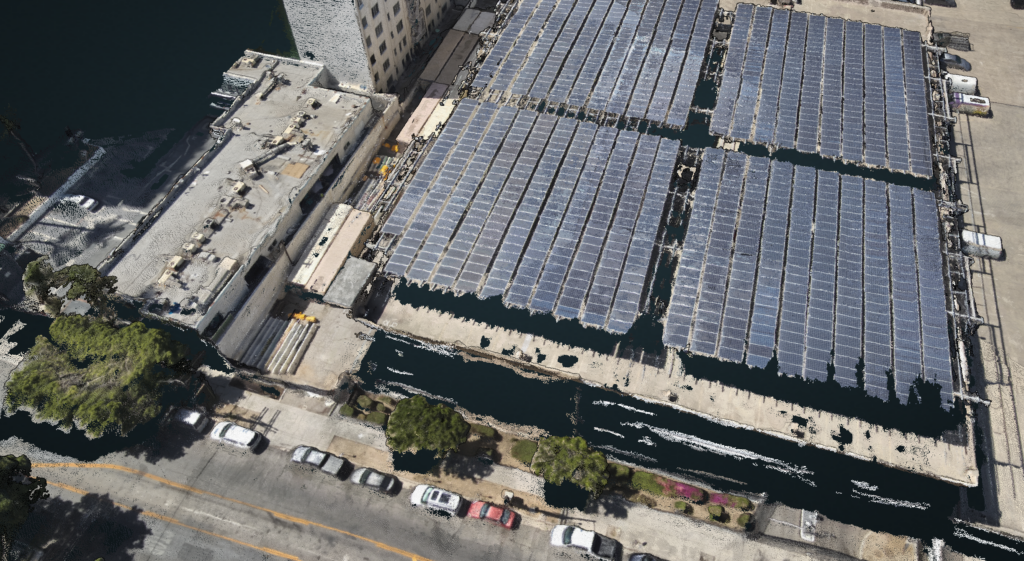
Engineering-grade aerial data for commercial and infrastructure projects
We provide orthomosaics, basemaps, conventional and thermal imagery—delivered to you in the CAD and GIS formats engineers and planners already use, from a Part 107 pilot who understands how projects get planned, funded, and built.
Core Capabilities
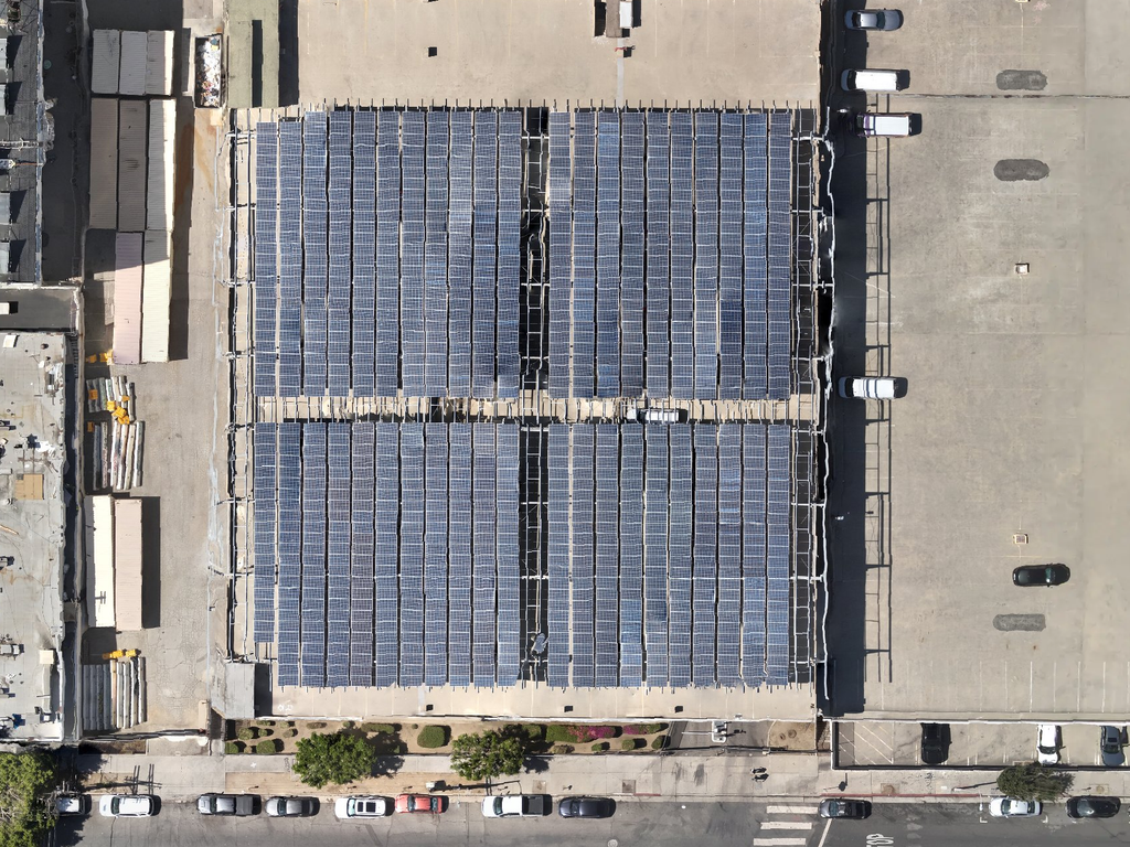
Orthomosaics & 2D Mapping
High-resolution imagery, aerial basemaps, 3D mapping, and digital twin data collection, formatted for direct CAD and GIS integration.
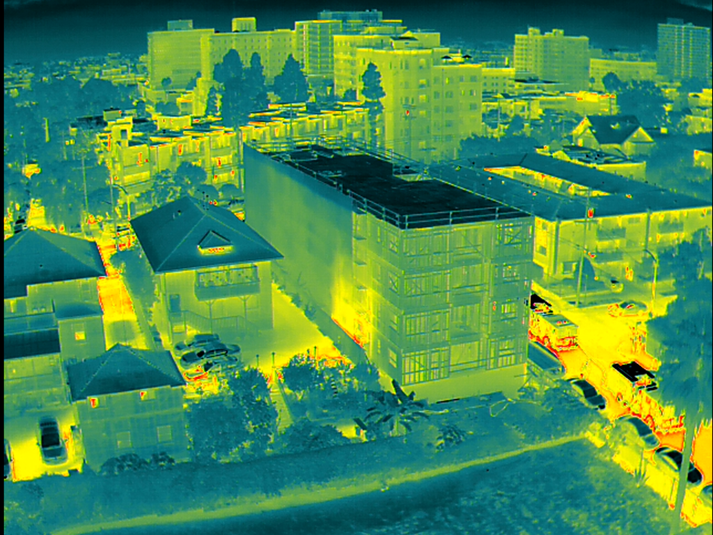
Thermal Capture
Aerial thermography for commercial and industrial monitoring, active worksites, heat mitigation, and environmental data.
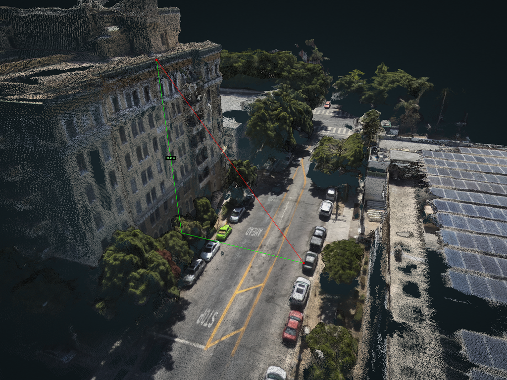
Volumetrics & 3D Spatial Models
Digital elevation models, surface topography, and earthwork volume tracking for site grading and construction progress monitoring.
Operational Standards & Compliance
- FAA Part 107 Certified: Remote Pilot in Command (PIC) operated with strict adherence to airspace authorizations and waiver requirements.
- Standardized Risk Mitigation: Formal Concept of Operations (CONOPS), mission safety checklists, and established setback buffers.
- Engineering & GIS Formats: Deliverables exported in industry-standard formats including GeoTIFF, LAS/LAZ point clouds, and CAD overlays.
- Insured Operations: Commercial aviation general liability coverage maintained for municipal and industrial field operations.
Sample Deliverable
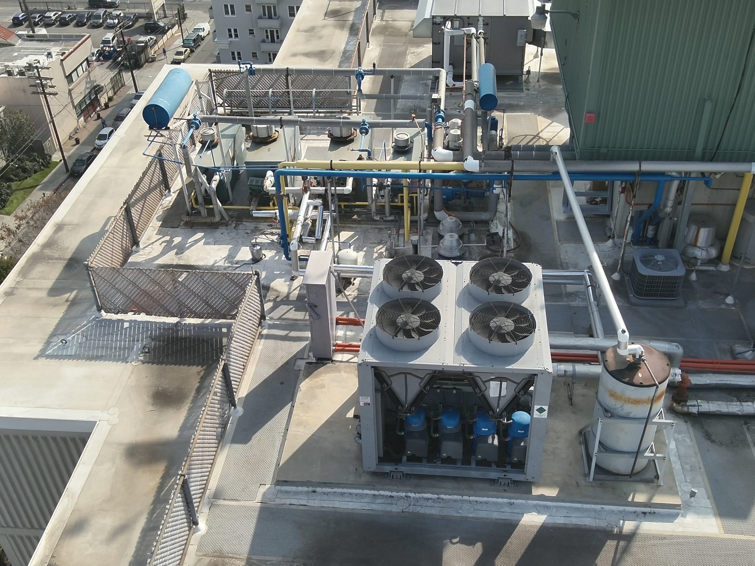
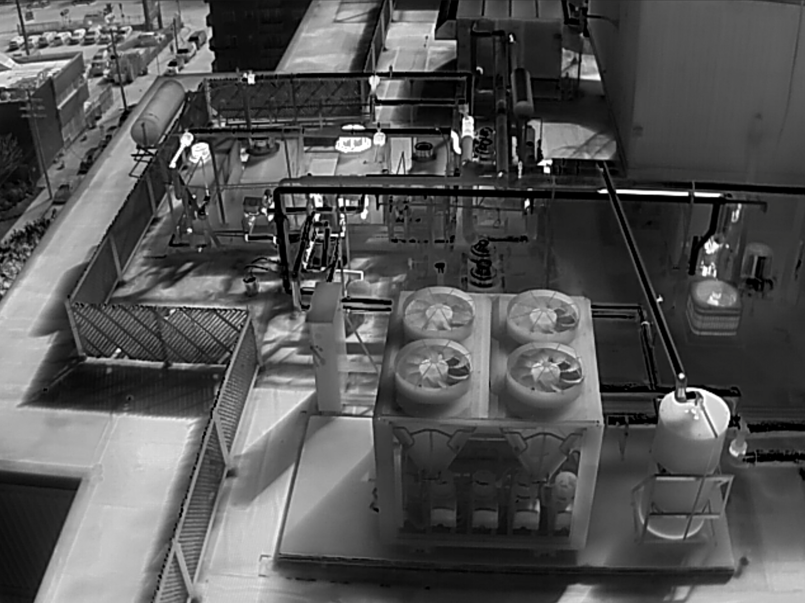
Thermal Services
This slider demonstrates the effectiveness of thermal capable drones in examining complex equipment in close proximity, without the risk and expense of traditional survey methods.
Contact & Scoping
For task-order scoping, subconsultant availability, or rate inquiries on Southern California civil and municipal infrastructure projects:
Email: contact@citadelaerial.com
Base of Operations: Los Angeles, CA